
Woodbury Neighbors and Block Records
Public sources give different kinds of block information. The county GIS and property roll relate a parcel to its legal and tax-record context. A county surrounding-owner request can compile an eligible group of parcels for a fee. MNVotes checks a known registration rather than browsing a block. City meeting and block-party pages support community contact, while a private association page may describe its own boundary. None of these sources creates a complete list of everyone who lives on a block.
| Block source | What it can show near an address | Access and limit |
|---|---|---|
| County GIS parcel map | Parcel geometry, street segment, parcel IDs, and map layers | Public gateway; exact controls were not verified |
| Assessor property information | Public owner, mailing, and situs data for an individual parcel | Search one parcel at a time; live field labels were not exposed |
| Surrounding-owner service | Requested-radius owner and address compilation | Paid and subject to no-marketing and no-solicitation limits |
| MNVotes | Known person-and-address registration match | No address-only block browse; protected data stays withheld |
| City community routes | Meeting, event, or block-party contact path | Not a membership directory |
For Woodbury neighbors, distinguish an owner of record from an occupant. A mailing address can be outside Woodbury, and a single parcel can be held by more than one owner, a trust, an estate, or an organization. Note: Label each result by its source, record date, and party role before comparing it with another record.
Following Parcels Around Woodbury
The immediate-block method begins with a target parcel. Washington County directs property research through its Property Records gateway and Assessment and Values page. Its GIS/Data Map supplies parcel geometry, aerials, topography, and, where enabled, zoning or district layers. The public research did not expose an exact GIS identify, buffer, measure, or adjacent-parcel control. Use available parcel outlines and labels one at a time instead of assuming a particular map button exists.
- Search the address in the county assessor or GIS route and save the parcel or property ID, situs address, legal description, and subdivision or lot-block information.
- Use parcel outlines to identify touching parcels. A shared edge may be separated by a road, easement, pond, common area, park tract, or utility parcel.
- Open each public parcel result separately and record only the public property facts, including the parcel ID and any owner or mailing information displayed.
- When the map does not resolve the question, order a printed parcel map or use the county surrounding-owner service rather than collecting portal data in bulk.
- For a recorded-document trail, compare the legal description in the county recorder index with the parcel already identified.
The flow is address to parcel ID, parcel outline, adjacent parcel, individual property record, then a recorded-document check if needed. A deed records an interest in property, not a full occupancy list. For a complete named-street process, use the Woodbury Street Directory rather than extending a block lookup past its evidence.
Woodbury Neighbors and Owner Service
Washington County offers a separate surrounding-property-owner service when a one-parcel review is not enough. The county can compile owners within a specified distance from a parcel. Its listed price is $50 for up to 25 parcels, plus 50 cents for each additional parcel, with labels at $1 per sheet. A specified non-radius list of 75 or more parcels is listed at $50 plus $93 per hour after the first hour, along with any applicable postage or mail charges. Confirm the current fee before submitting a request.
The county services page describes the surrounding-owner option and its use limit. Under the cited 1997 Minnesota law, names and addresses from this service cannot be used for a business purpose consisting of surveys, marketing, or solicitation. The restriction is part of the request, not an optional courtesy. County property services also prohibit bulk parcel downloading, scraping, and extraction from the record systems.
The Woodbury Code Enforcement page describes the city's property-maintenance, nuisance, zoning, sign, complaint, inspection, and correction functions.
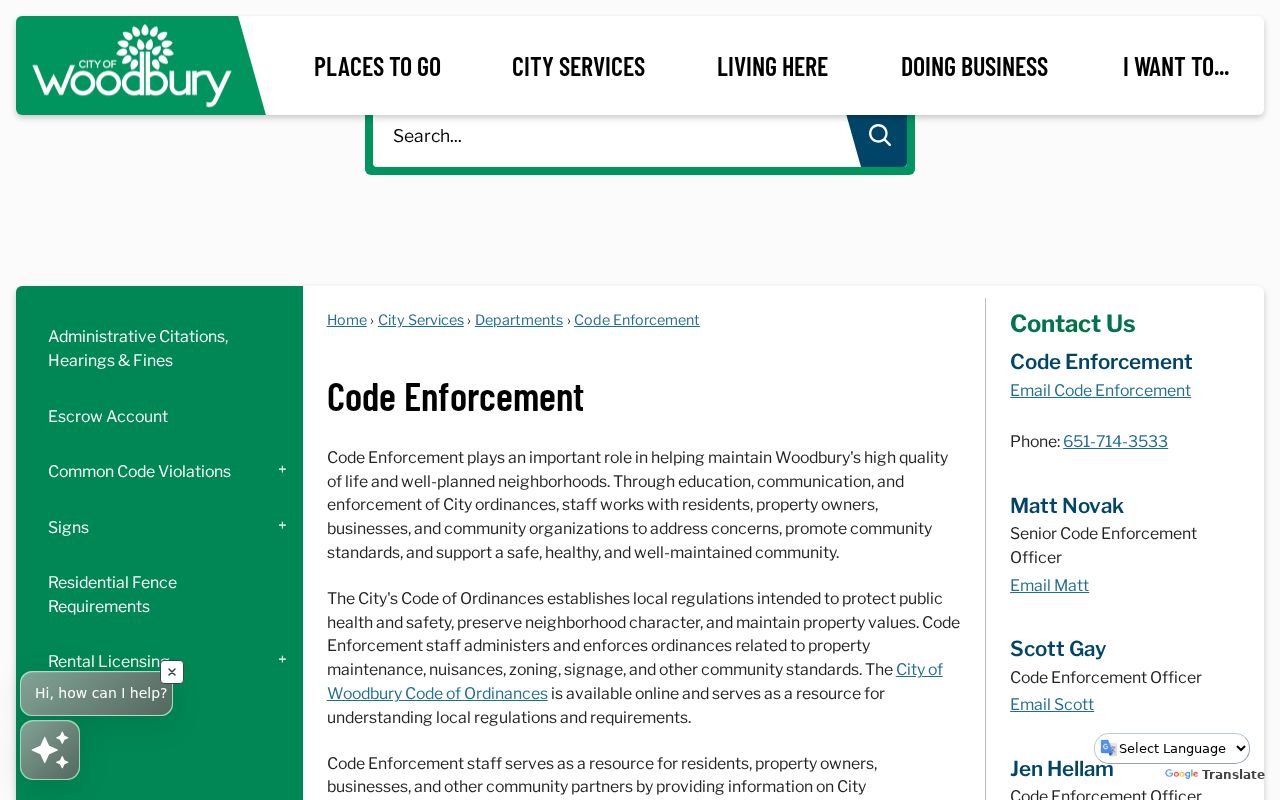
Code material can document a public regulatory event when available through a data request, but the city does not publish a general case search by person or address on that page.
Woodbury Neighbors and Voter Controls
MNVotes is not a Woodbury neighbors map or an address-only list. It is an individual registration-match form that asks for a first and last name, then an address mode using ZIP code or county, city or township, house number, street, and an optional unit. It is updated nightly, although officials may take up to 14 days to reflect a change. A match can confirm the registration record through the tool's response path. It does not identify every person at an address.
| Individual lookup | Requires a known name and address data; it is not a block browse. |
|---|---|
| Public voter information | Limited statutory fields may be available through the proper request channel. |
| Walking list | A street-sorted current registered-voter format available only through a regulated request. |
| Requester rules | Registered Minnesota voter status and lawful-use certification are required for the documented forms. |
| Withheld information | Full birth date, identification numbers, and protected-voter data are not public list material. |
MNVotes is the narrowest official route. Under Minn. Stat. §201.091, voter-list access has lawful-use, no-unrelated-use, no-Internet-publication, and no-sale or loan limits. The current statewide request form lists an entire city or town at $30 and offers a walking-list format, but fees and forms should be checked before any order. A nonmatch can reflect unregistered people, a move, a protected record, or an input difference. It is not a conclusion about the household.
Woodbury Neighbors Community Layer
Community sources can help a resident connect around a block without claiming access to private household details. The city's Building Safe Neighborhoods program invites officers to neighborhood or association meetings and asks organizers for a date, time, neighborhood, location, and contact information. That is an official meeting-contact route, not a citywide association directory. Night to Unite and Block Parties also provides an address-selection process for a location search. It requires the closest house number and a selected address, then indicates whether temporary barriers are allowed while preserving emergency and resident access.
The Building Safe Neighborhoods page is the city source for arranging neighborhood or association meeting contact.
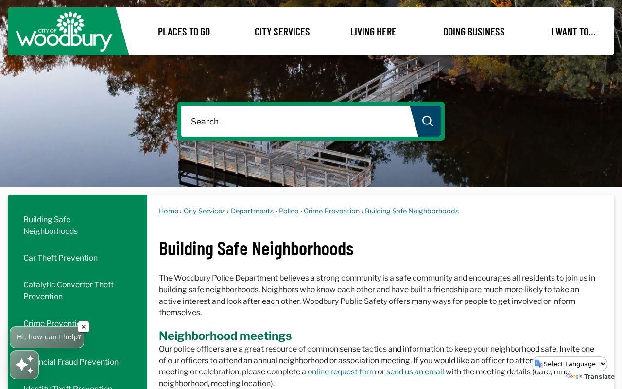
It supports a local conversation or event plan, while the parcel system remains the source for parcel boundaries and property records.
Woodbury's Community Profile lists civic groups such as the Community Foundation, Rotary, Lions, and athletic associations. Those group names do not establish where a person lives or whether someone belongs to a group. Their value is community context, not identity proof.
Woodbury Neighbors Association Gap
No official source located a master citywide HOA or neighborhood-association directory with member contacts. That gap should stay visible in any Woodbury neighbors search. The city supports meetings, block parties, and civic activity, but it does not publish a universal household directory. A private association can publish its own boundaries, board or common-area information, and contact method. Those details describe the association's public statement, not parcel ownership, individual membership, phone number, or a household relationship.
| City Building Safe Neighborhoods | Official event and meeting-contact route; no association directory. |
|---|---|
| Night to Unite / Block Parties | Block-event geography and access conditions; no people list. |
| Georgian Heights Phase 4 HOA | Self-published 47-home phase boundary, retention-pond, governance, and contact information. |
| County property sources | Parcel and owner-record research, not association membership information. |
Georgian Heights Phase 4 HOA is a useful self-published boundary source. Treat its 47-home statement and phase information as the association's own description. Do not use it to infer who belongs, who lives there, or who owns an individual parcel.
Woodbury Neighbors Source Comparison
Official records and commercial neighbor tools work differently. A county source identifies its custodian, record purpose, and access rule. A commercial category may combine old and current records, but its summary can omit dates, confuse people with the same name, or mix property ownership with occupancy. For Woodbury neighbors, a source-specific result is more useful than a broad list because it shows what the record can actually support.
| Question | Official source route | Commercial neighbor category |
|---|---|---|
| Which parcels touch this one? | County GIS and parcel geometry | May not show the parcel boundary or source date |
| Who is shown on a property record? | Assessor or recorder record with a date and party role | May mix owner, mailing, or older address clues |
| Can a known voter record be checked? | MNVotes or a regulated voter request | Does not remove statutory privacy controls |
| Is an association boundary public? | City route or the association's published statement | May overstate a community label as membership |
Use the official custodian when an address, parcel, or record date matters. A paid summary is not a substitute for confirming the original property, election, or association source.
Historical Woodbury Neighbors Clues
Older neighborhood questions need historical sources that are honestly dated. WCHS holds Woodbury cemetery indexes, deeds, biographical files, photographs, school scrapbook material, and regional newspapers. Its Woodbury page links cemetery and local-history resources, while the research center can help identify the underlying source. A cemetery or newspaper name can place someone in community context, but it is not proof that the person occupied a target property. A current parcel may sit in a later subdivision phase over an older township parcel.
Woodbury became a township in 1858, a village in 1967, and a city in 1974. These place-name shifts are a practical caution. Earlier material may use Washington County or township geography rather than today's street and subdivision labels. Compare the legal description or a recorded plat when matching an old place reference to a current block.
Woodbury Neighbor Privacy Boundaries
Minnesota's Government Data Practices Act presumes government data is public only unless a law classifies the particular data otherwise. That does not make every household detail public. Utility and delivery data, protected court material, motor-vehicle information, many private household details, and protected addresses are outside a normal parcel search. The county's Data Practices page provides the request and informed-consent routes when a specific county record is sought.
Minnesota Safe at Home gives qualifying participants a designated legal mailing address and mail forwarding while shielding the actual residential address where the program statutes apply. Protected voter data is also not part of a normal public lookup. Do not attempt to work backward from a designated address or combine records to identify a participant's location.
The Minnesota Safe at Home program page explains the address-confidentiality program and its application-assistant requirement.
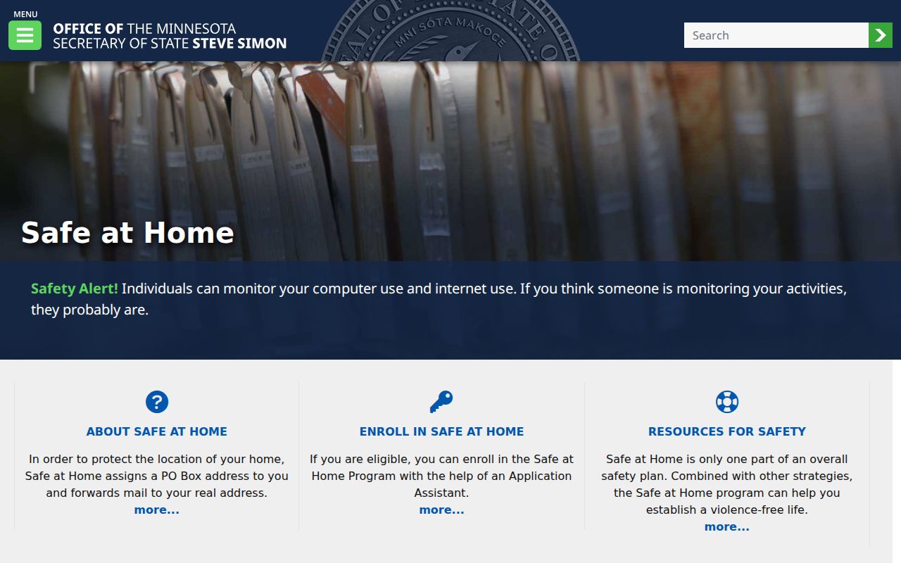
The program is a reason to treat a missing or substituted address as protected information, not a puzzle to solve.
Lawful use. Use Woodbury neighbors records for a personal, lawful purpose and respect source limits. Minnesota law prohibits stalking, harassment, threats, and misuse of protected or regulated address information.