
Woodbury ZIP Coverage and Addresses
Census geography identifies four five-digit ZCTAs that fully or partly touch Woodbury: 55055, 55125, 55128, and 55129. A ZCTA is a Census statistical geography, not a USPS delivery boundary or city-limit line. The entries below are a starting index for Woodbury-area research. A complete address still needs an address-level USPS check before a postal result is treated as current.
| ZIP Code | Areas Covered | Post Office | Notes |
|---|---|---|---|
| 55125 | Core and central Woodbury usage; City Hall and R.H. Stafford Library use it. | No exact USPS station assignment verified. | City and voter pages use this code; USPS controls the delivery result. |
| 55129 | Eastern and southeastern Woodbury addresses appear on city materials. | No exact USPS station or outside-city boundary verified. | Woodbury-area postal code, not a municipal polygon. |
| 55128 | ZCTA partly within Woodbury; postal coverage also reaches outside the city. | No exact USPS coverage or station verified. | A hit alone does not prove Woodbury municipal residence. |
| 55055 | ZCTA partly within Woodbury near the regional city boundary. | No exact USPS city or station assignment verified. | Cross-check the parcel and city boundary before interpreting it. |
No official source inspected verified a post-office station list, a PO-box-only code, a unique ZIP, a ZIP split, or a realignment year for Woodbury. That absence matters. This ZIP code directory begins with the four Census overlaps, then leaves delivery questions to USPS. A partial ZCTA overlap is not a delivery claim, and it cannot assign a post office to an address without USPS confirmation.
Woodbury Postal Verification
USPS ZIP Code Lookup is the delivery authority for a particular address. Its public form offers By Address, By City and State, and Cities by ZIP modes. Use the address route when a house number and street are known, including a unit when one applies. USPS may recommend or recognize a city name that is not the same question as Woodbury municipal jurisdiction.
| USPS field | Form role |
|---|---|
| Street Address | Required in By Address mode, with unit detail added when applicable. |
| City and State | Required with a city or town name and a state selection. |
| ZIP Code | Optional narrowing in address mode, or required in Cities by ZIP mode. |
| Company and Apt/Suite/Other | Optional details that can distinguish a delivery address. |
The USPS lookup form is the final postal check because a dynamic Woodbury result was not captured in the research.
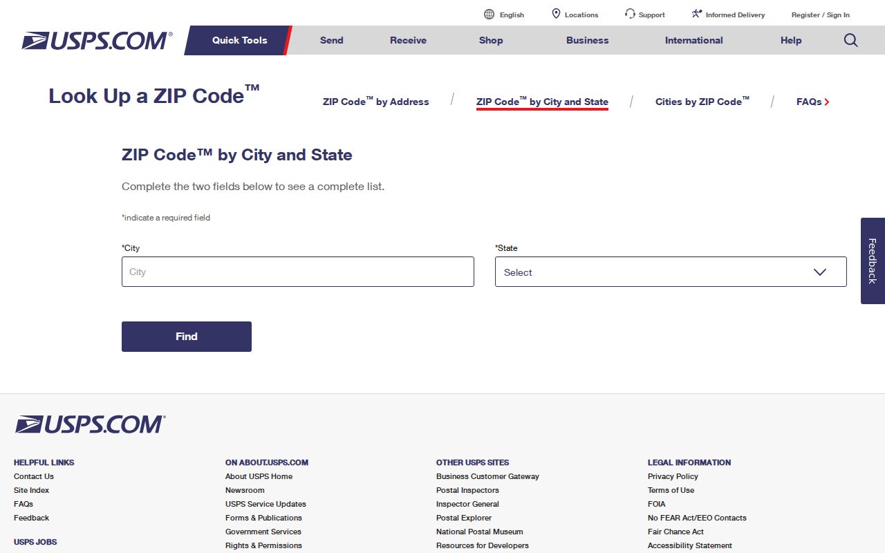
Keep the USPS delivery result next to, not in place of, the parcel and city-jurisdiction result. Each source answers a different question.
Woodbury MNVotes ZIP Method
MNVotes is the verified ZIP-capable state portal, but ZIP is part of an individual address match. It is not a search of all residents or all voters in a ZIP. The form needs a known person's first and last name, then ZIP mode or county mode, city or township, house number, street, and an optional unit. Its nightly update schedule and address-format hints can explain a nonmatch without creating a ZIP-wide roster.
- Confirm the delivery ZIP for the known address with USPS and retain the full street address.
- Open MNVotes, enter the person's first and last name, and choose ZIP Code rather than County.
- Enter the five-digit ZIP, city or township, house number, and street. Select the unit control only if a unit number is part of the address.
- Read the result as a known-person registration match. Use the official next-step guidance for a nonmatch rather than assuming the address has no residents.
| MNVotes input | Verified format or limit |
|---|---|
| First and last name | Both required, using the registered name. |
| ZIP mode | Five-digit ZIP expected; county is the alternative mode. |
| City, house number, street | Required address components. |
| Apartment or unit | Optional selection; unit number becomes conditional. |
The official Minnesota Poll Finder uses an address to identify polling information, another useful reminder that an address is more precise than a ZIP-only assumption.
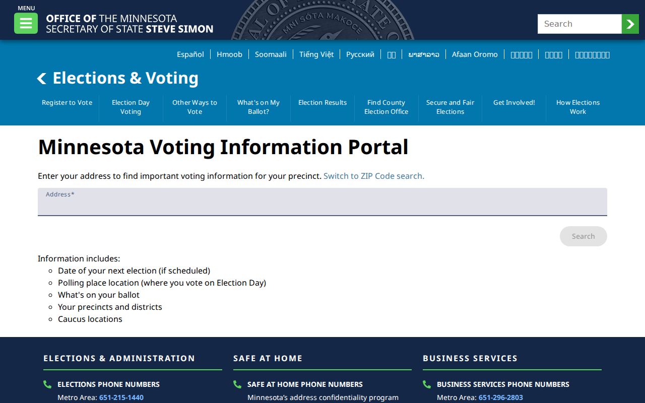
Minnesota voter data has lawful-use and protected-voter limits. A ZIP code is a required address field in this workflow, not a way to browse a neighborhood.
Woodbury Parcel and ZIP Keys
A ZIP is often useful for narrowing an address, but the parcel key carries the stable land connection. The Washington County assessment route advertises owner-name and address search, while the live public field list was not exposed in the inspected page. The property result may distinguish the situs address from the owner's mailing address, and both can differ from a postal-city label. Save the parcel or property ID and legal description before comparing a ZIP with a tax or recorded-document result.
The Washington County property-tax lookup is an official route for tax information tied to property records.
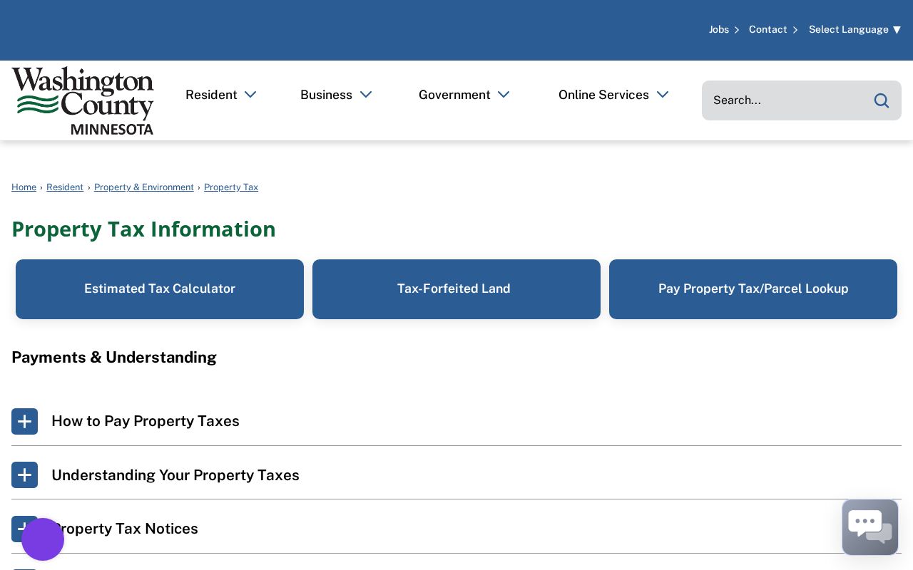
A tax or parcel record can identify property context, yet its address fields still do not establish every current person at a location.
Use a Woodbury ZIP Code with a Name
A name-plus-address workflow is more accurate than a ZIP-only query. USPS verifies delivery information. MNVotes can test a known person and full address. Parcel sources use an address, owner name, or property ID, while the county GIS and city maps provide place context. None of those documented tools is a verified ZIP-wide resident search. Use the postal label only as a sorting aid for an already identified address, not as a list of everyone attached to that postal area.
- Validate the full mailing address with USPS, including a unit where relevant.
- Preserve the delivery ZIP separately from the property's situs, mailing address, parcel number, and legal description.
- Use the documented portal that matches the question: MNVotes for a known registration match, property sources for parcel context, or city maps for jurisdiction and land-use context.
- When a ZIP narrows the work to a street, use the Woodbury street directory for the address-by-address records chain.
Minnesota's voter-list statute allows certain public data only through regulated access and written lawful-use procedures. It does not turn an individual MNVotes form into a ZIP-wide resident directory. The ZIP code directory keeps that limit clear by treating postal information as address context, not a people list.
Woodbury ZIP Code and City Limits
A postal city and a municipal residence can disagree. The Census identifies 55128 and 55055 as ZCTAs partly within Woodbury, which means either code can reach land outside the city. The city uses 55125 and 55129 on official pages, yet those examples do not establish a static boundary for every address. Check USPS for delivery, county parcel data for the land key, and city sources for jurisdiction. Keep the results in separate columns rather than forcing one label to answer all three questions.
- ZIP vs. ZIP+4
- A five-digit ZIP identifies a postal delivery area. ZIP+4 adds a smaller delivery segment; neither is a city-boundary line.
- PO-box ZIP
- A code used for post-office boxes. No Woodbury PO-box-only code was verified in the research.
- Unique ZIP
- A ZIP used by one organization or high-volume recipient. No Woodbury unique ZIP was verified in the research.
- Carrier route
- A postal delivery sequence within a ZIP area. It is not a public municipal or household boundary.
Note: A parcel's situs, its tax mailing address, its legal description, and its postal ZIP can describe different aspects of one property.
Woodbury ZIP Place Context
The city's Community Profile gives civic context for a growing city with parks, trails, lakes, and community organizations, but it is not a postal boundary source. Rapid growth also means a newer subdivision address can sit on an older parcel history. Compare the current address with the legal description and parcel number instead of projecting a modern postal label backward onto an old township or village record.
The Woodbury Community Profile provides this local place context without claiming that ZIP areas and city limits match.
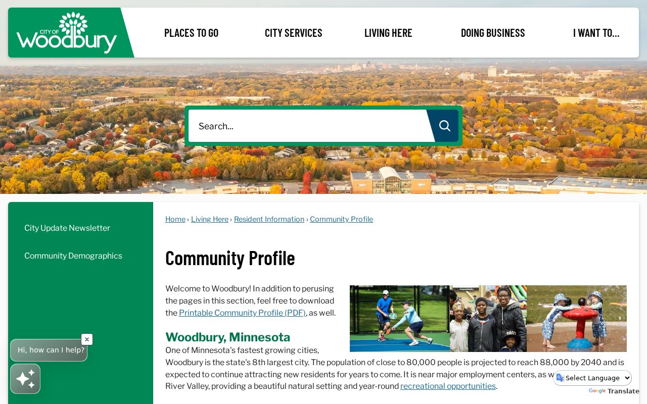
Use civic context to understand the place named in a record, then return to USPS and parcel sources for the address-level decision.
Woodbury ZIP Land Use Context
Postal information does not describe zoning or land use. The city's zoning and land-use map is useful when an address needs a jurisdiction or map-context check, while county GIS and assessment sources hold parcel-oriented details. A site, mailing address, and ZIP may all be visible in different systems, but each one should be labeled for its source role. This avoids treating a postal label as evidence about property boundaries or use.
The Woodbury zoning and land-use gateway is an official map-context source for that separate question.
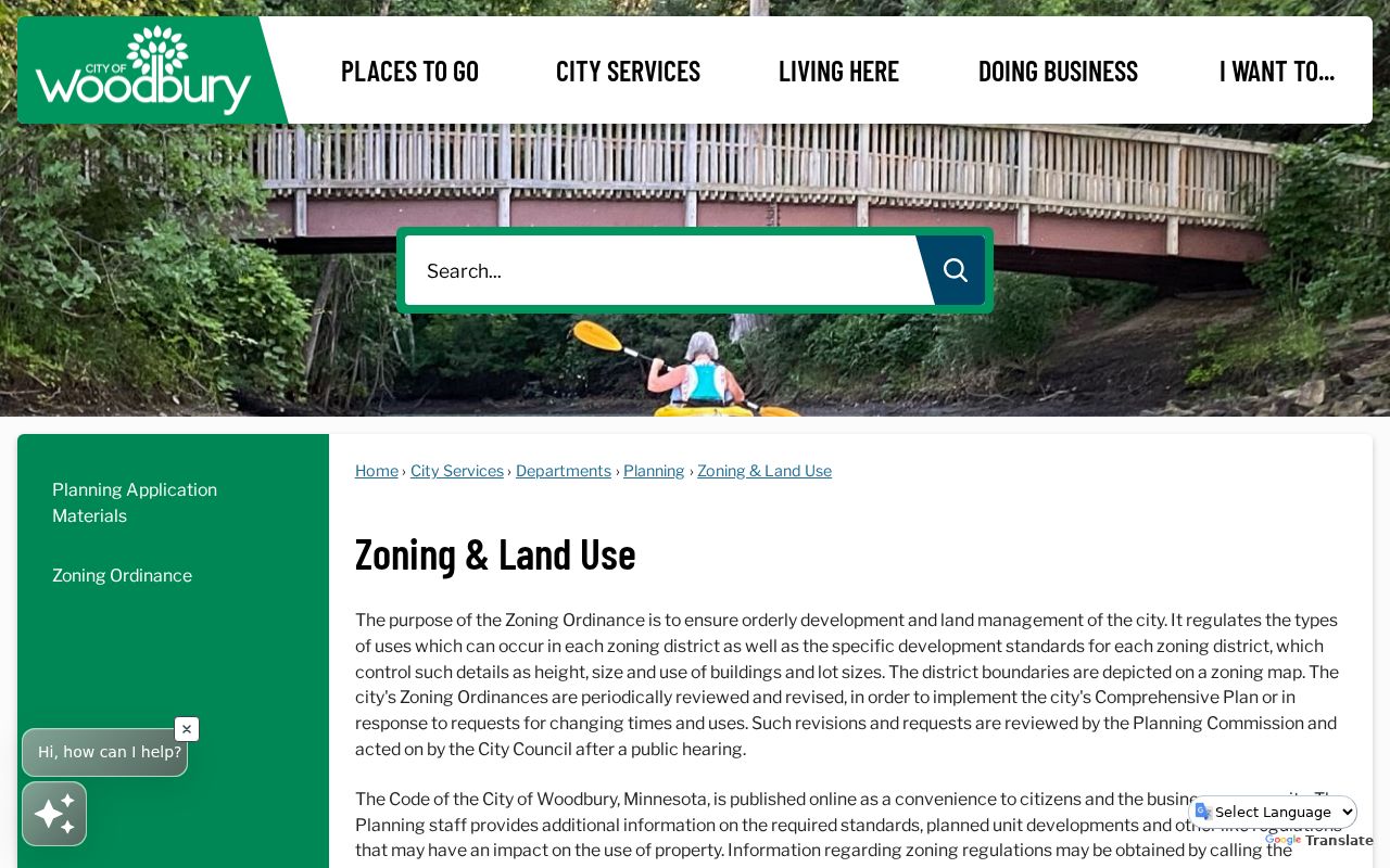
The map route complements a postal check, but it does not replace USPS delivery validation or identify who is associated with an address.
Woodbury ZIP Research Limits
No official source reviewed supplied a static ZIP boundary map, a local post-office assignment list, a realignment date, or per-ZIP registration totals. Do not infer those facts from a ZCTA label. County eCRV sales search has county, jurisdiction, status, qualified-sale, property-use, and sale-date filters, but no verified ZIP field. The assessor and GIS routes may locate an address or parcel, yet their live ZIP controls were not exposed in the source inspection. A records search should say which address key was used before any result is interpreted.
Historical directories add another limit: modern ZIP codes should not be back-projected into nineteenth- or early-twentieth-century entries. Use the period's city or township name, the street or legal description, census geography, and a modern parcel crosswalk as separate evidence. State what is known, what needs USPS verification, and what the portal does not offer.
Woodbury grew through township, village, and city eras, so older sources may name Washington County, a township, or an earlier local setting rather than a modern postal city. Start an older-address search with the wording printed in the source. Then compare the street with plats and the parcel or legal description. This preserves the historical record without pretending that a present-day delivery label existed when the older record was made.