
Woodbury Previous Residents by Era
One Woodbury address passes through different record systems as it gets older. The current parcel anchors the search. RecordEASE supplies an online deed-index route for newer documents, while the county counter and historical research institutions become more important earlier in the chain. Household sources can corroborate an address or a family in a period, but they do not convert a property transfer into proof of residence. The useful approach is to match the source to the era and retain the stated limitation.
| Source | Years it covers | Where held | What it shows or limits |
|---|---|---|---|
| RecordEASE online index | 1984 to present, advertised | Washington County portal | Grantor, grantee, legal description, document/date/address modes; older images may exist but searchable coverage varies |
| Recorded-property archive | Pre-1984 records; earliest series not stated | Government Center research room, deed books, and microfilm | Official instruments and plats, with counter assistance and copy options |
| Subdivision plats | Plats noted from 1848 | County Survey Data and Property Records | Lot, block, subdivision, and geometry; common-interest declarations are not online there |
| MNHS state censuses | 1849 to 1905 | MNHS People Records | Household and name context, not parcel-specific proof |
| Federal census | Released under the 72-year rule | National Archives and approved research access | Household and enumerator geography; 1950 is the latest released schedule |
| Telephone directories | Woodbury heading, exact volume run unverified | MNHS Gale Family Library | Possible telephone and address entries; ask a librarian to verify exact volumes |
Woodbury's current locally produced city directory has no published edition metadata, and no verified Woodbury criss-cross run was located. WCHS documents several Stillwater directory runs, but they are a neighboring-city source only. Do not turn a Stillwater entry into a Woodbury address claim without direct evidence.
Save the Woodbury Parcel First
The county assessor and GIS route supplies the current starting point: parcel/PIN, legal description, subdivision, lot or block, situs address, and mailing address. Preserve both addresses. The situs is the physical parcel. The mailing address is tax-roll correspondence and may point to a trust, estate, agent, or a place outside Woodbury. It is a clue, not proof that someone lived at the physical address.
Washington County Assessment and Values advertises owner-name and address search, but the live embedded controls and complete field list were not exposed in the reviewed page. The Survey Data route adds parcel geometry, aerials, topography, and recorded plat context. Keep the legal description beside the street address because it is the continuity key when old sources use different place or street wording.
Trace a Woodbury Deed Chain Backward
Washington County uses abstract and Torrens systems, so identify the record type as the trail begins. A Torrens Certificate of Title consolidates the title record. Most county property is abstract, where a title history follows the applicable recorded instruments. The central point is the same: match the legal description at every transfer. A street address alone is not durable enough for an older chain.
- From the parcel record, save the current owner, parcel/PIN, legal description, and any lot, block, or subdivision text.
- In RecordEASE, locate the acquisition document with the current owner as grantee. Record the document number, recording date, instrument type, grantor, and legal description.
- Search the seller from that document as an earlier grantee. Compare the legal description, rather than relying on a similar address or name.
- Repeat one transfer at a time. If a party is a trust, estate, corporation, or representative, search the entity and the named representative separately.
- At the online boundary, take the parcel notes to the Washington County research room, deed books, microfilm, or a formal counter-copy request.
- Grantor
- The party transferring an interest in a recorded document.
- Grantee
- The party receiving that interest. A grantee is not automatically a physical occupant.
- Chain of title
- The sequence of recorded land interests connected by the same legal description.
- Legal description
- The lot, block, subdivision, or metes-and-bounds land description that keeps old records tied to one parcel.
A transfer is a dated land-record event. It may help trace past owners, but it does not give a move-in or move-out date for every household.
Woodbury's 1984 Records Boundary
The most important Woodbury quirk is the RecordEASE online cutoff. The county advertises its online index from 1984 to the present, while also stating that historical pre-1984 documents were converted to electronic images where available. Those facts are not interchangeable. An image may be available without every older index field being searchable online, so a name or address miss is not a conclusion that the record does not exist.
For newer work, the online index offers grantor, grantee, legal description, metes and bounds, document type, recorded-date range, and address modes. Access has published occasional-session, subscription, search, image, and copy charges. For earlier work, the first-floor public research room, deed books, microfilm, certified counter copies, historical plats, WCHS, and MNHS are the documented alternatives. The online screen is faster; the counter route is broader for a pre-1984 trail.
Woodbury Plats Keep Addresses Straight
County Survey Data notes recorded subdivision plats from 1848. They can connect a modern address to a lot, block, subdivision, or metes-and-bounds description that appears in older deeds. A current street may sit in a newer subdivision phase over an older township parcel. That makes the plat and legal description more reliable than a modern street label when following previous residents through time.
Woodbury was township-organized in 1858, incorporated as a village in 1967, and made a city in 1974. Research did not locate an official comprehensive street-renumbering year or a verified renamed-street list. Preserve the historic source wording. If an address no longer maps cleanly, ask Survey Data or Property Records to help interpret the plat and parcel relationship rather than inventing a conversion.
Woodbury Household Correlation
Past owners and past residents are not the same group. Pair a confirmed parcel and deed date with a household source from roughly the same period. MNHS People Records indexes Minnesota state censuses for 1849 to 1905, plus other collections; federal schedules follow the 72-year release rule. Telephone directories may provide an address or phone entry once the Gale Family Library verifies the relevant Woodbury volume. A directory entry, census household, and recorded deed should be treated as separate evidence that may or may not line up.
- Write the deed's recording date, parcel key, party role, and legal description in a source ledger.
- Find the nearest released federal or Minnesota state census period, keeping township and enumerator geography separate from the modern city boundary.
- Ask MNHS for a verified telephone-directory or address-arranged search for the specific year; do not assume a reverse section exists.
- Compare name spelling, middle initials, spouse or household notation, address wording, and date. Record a mismatch instead of forcing a link.
- Use WCHS newspapers, cemetery records, biographical files, or obituary research as supporting historical leads, then cite their date and source.
The historical collections themselves are described on the Woodbury city directory page. Their key limitation here is simple: no actual Woodbury directory entry or complete reverse run was opened in the research, so no unverified entry fields should be claimed.
Use MNHS People Records for the state index route.
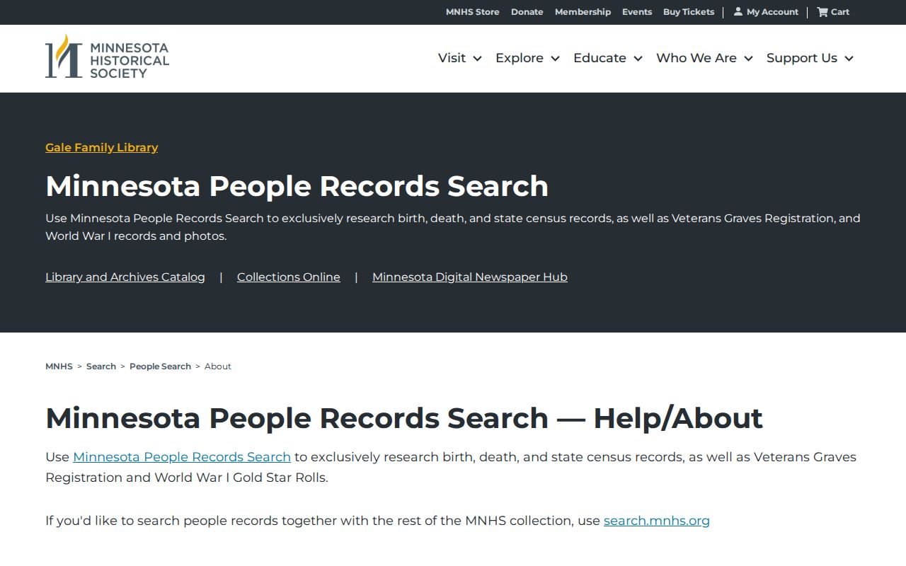
The MNHS screen represents a statewide historical-index channel that must be paired with the correct address, date, and original record context.
Woodbury History Research Counters
When the trail is not online, ask a custodian for a parcel-focused search. MNHS Gale Family Library accepts research questions about city and telephone directories, county atlases, court files, obituaries and articles, naturalization, military sources, and yearbooks. It also offers interlibrary loan for directories and county atlases. The research found no official Woodbury house-history guide, so a request should include the address, current legal description, approximate construction period, and known prior names.
Washington County Historical Society holds Woodbury deeds, biographical files, cemetery registers, school material, photographs, maps, newspapers, and books. Its Name Index has more than 180,000 entries, and the center provides research services for a fee. R.H. Stafford Library is the local reference point, but a dedicated local-history shelf list, obituary index, directory run, and licensed-database list were not located in public sources. Ask the reference desk about interlibrary loan and referrals before assuming a volume is on the local shelf.
See the Gale Family Library research service for a documented request route.
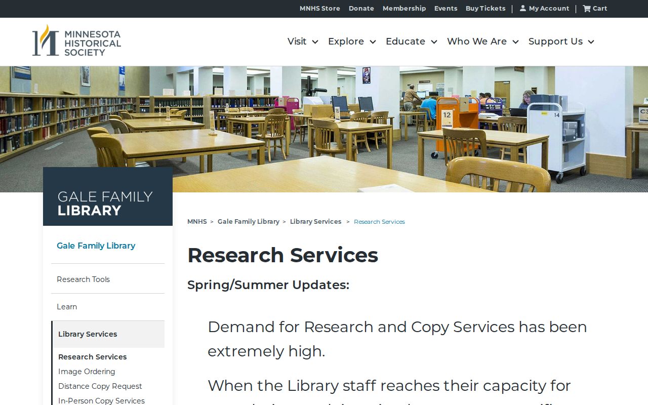
The research-service route is useful precisely because it can confirm a specific volume or address source instead of filling an unverified local gap.
Woodbury Records Before the City
Older materials may describe Woodbury as a township, a church or cemetery community, or a Washington County location rather than today's city. Washington County's register-of-deeds function dates to the county's first officers in 1849. WCHS documents an 1849 courthouse and a larger 1870 courthouse, but no official source located a courthouse fire, flood, or destroyed Woodbury record decade. That absence should stay in the research notes.
WCHS's historical account provides the county-record setting and is not an occupancy roster.
This local-history source helps interpret older place names and record geography before a modern Woodbury street address existed.
Woodbury Sale and Permit Clues
Other records can date a property event without naming a full household. Woodbury permits and inspections use Tyler Civic Access for current applications, but the public search fields, historical online start, result layout, and image rules were not located. A permit or inspection date can bracket construction, repair, or alteration. It does not establish who lived at the address. Public portions of code records may be requested, subject to classification and redaction.
Minnesota's eCRV sales search can filter by county, jurisdiction, preliminary or completed status, qualified-sale status, property use, and sale date. No verified ZIP filter was found. The eCRV result is a sales-research clue that should be matched to the parcel and deed, not treated as a standalone occupancy record.
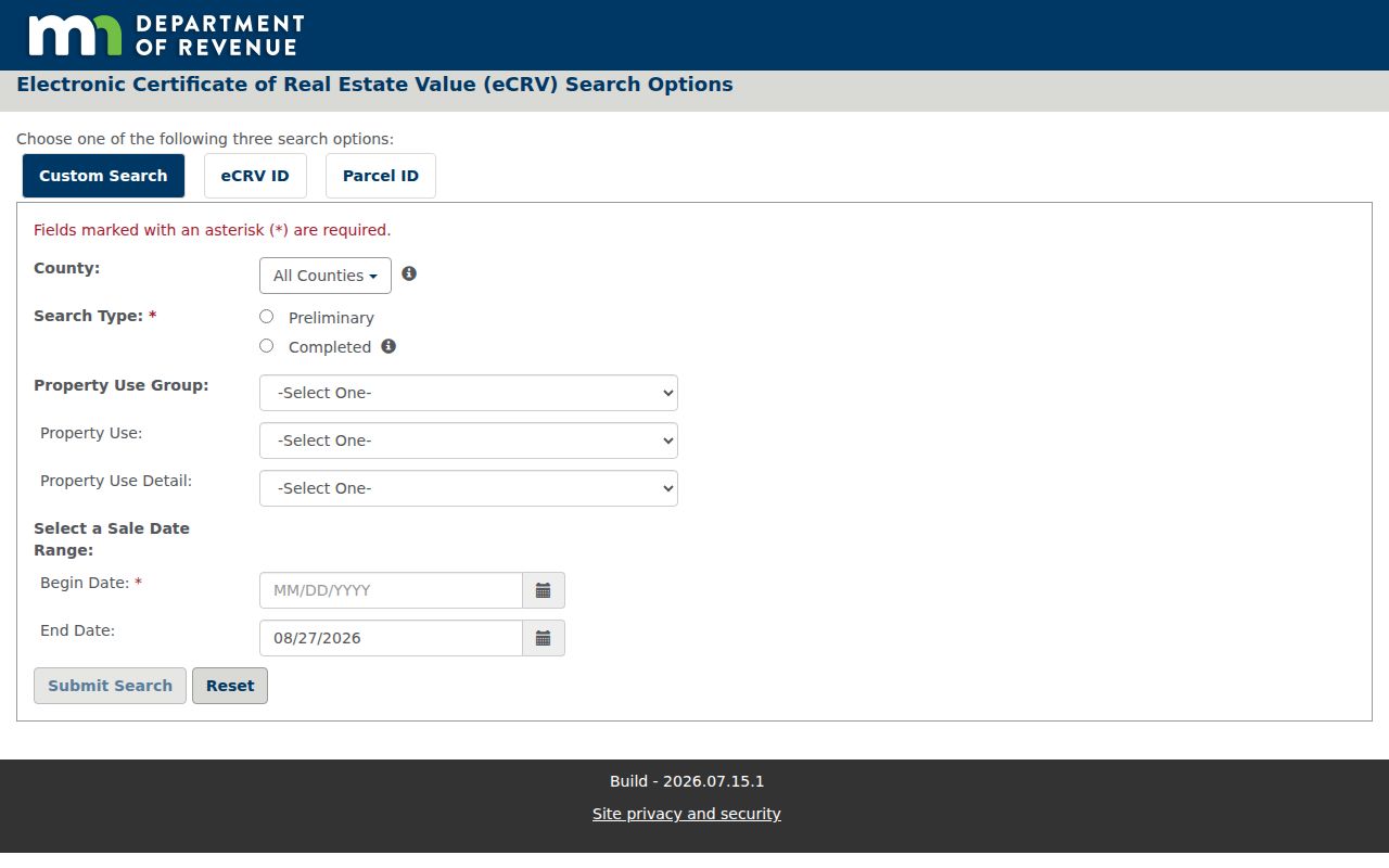
The eCRV search offers a distinct sale-date channel, useful for checking a recorded transfer against the parcel's documented history.
Historic deed context can also be explored through Mapping Prejudice, which maps racial covenants principally from 1910 to 1960. It is historical context, not a current ownership lookup.

The specialized map can help frame a historic deed question, while the county recorder remains the source for the instrument and parcel chain.
Woodbury Previous Residents Limits
Previous residents research is strongest for house history, family history, and personal curiosity when each result stays tied to its source. It cannot reveal every past household, private address, protected voter, sealed court record, utility account, or motor-vehicle record. A deed may identify an owner, an estate, or a trust. A directory may be missing. A census boundary may not match the modern city. An obituary or cemetery record may establish a life event, not a residence at the parcel.
A careful source ledger preserves the parcel/PIN, document number, recording date, grantor or grantee role, legal-description match, directory year, census geography, permit date, and unresolved gap. For a present-day street sequence, use the Woodbury street directory route and keep the historical record trail separate from a current address result.